Aitken Creek Parklands Craigieburn Walks
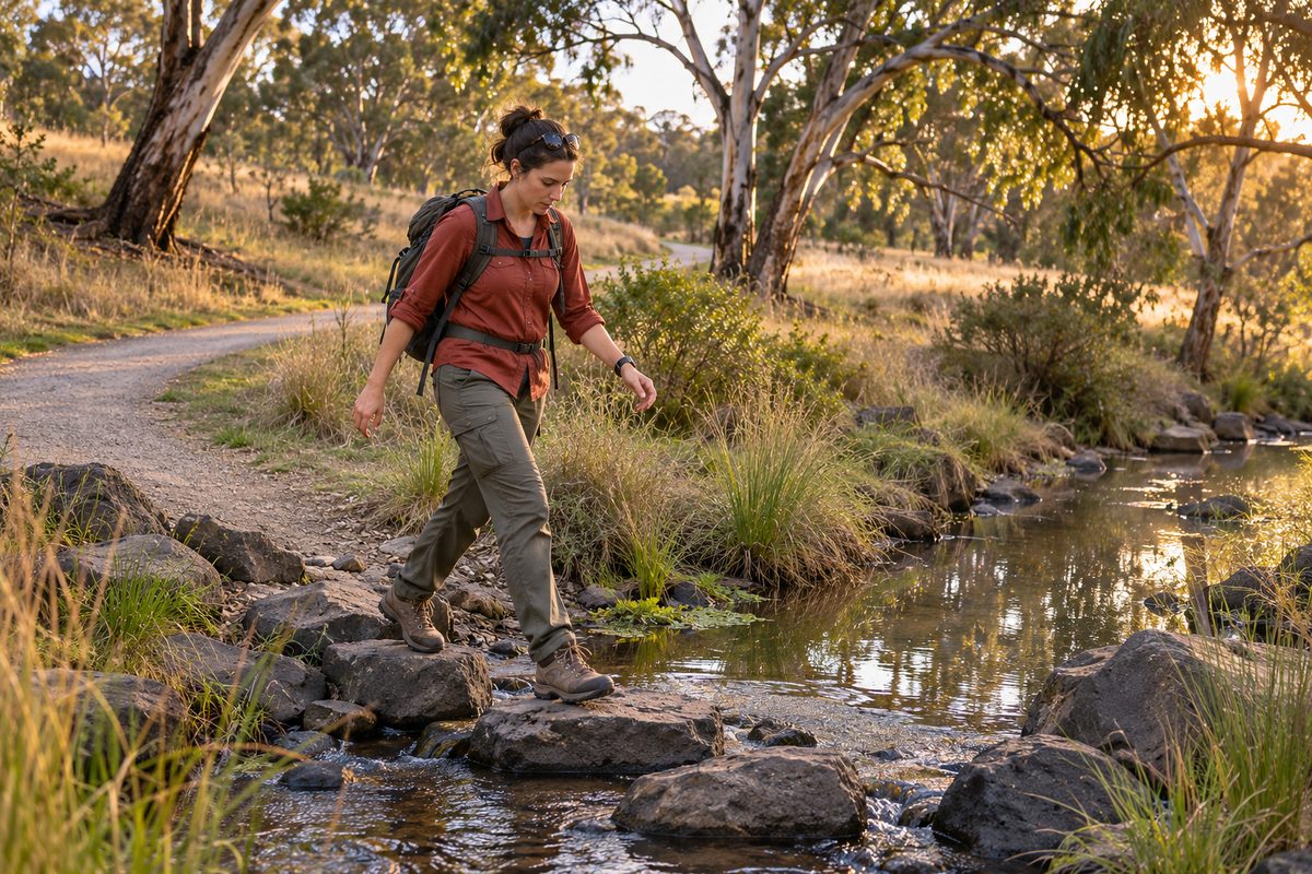
Aitken Creek Parklands is the easiest creek walk in Craigieburn: a flat, mostly sealed shared path that follows the creek through the middle of the suburb, passes wetlands and sports grounds, and links into the Merri Creek Trail for anyone who wants a longer outing. It is not a bush trail. It is a linear reserve threaded between houses, schools and main roads, and that is exactly why it works for everyday use. You can step onto it from many side streets, walk for ten minutes or two hours, and leave wherever suits you. This guide from Craigieburn Fieldnotes covers how the walk is laid out, what you will see, who looks after it, and how to reach it without a car.
What kind of walk is Aitken Creek Parklands?
It is a creek corridor walk, which means the shape of the land decides the route for you. Aitken Creek is a small waterway that rises on the western side of Craigieburn, Victoria and flows east across the suburb until it meets Merri Creek. The parkland is the strip of open space kept along the creek as the suburb was built. The Aitken Creek Trail is the shared path that runs through that strip.
Because the path follows water, the gradient stays gentle the whole way. Prams, scooters and bikes all cope. Walkers and riders share the same surface, so keep left and expect bells behind you on weekend mornings.
Two bodies look after what you are walking through, and knowing which is which explains a lot of what you see. The City of Hume manages the parkland itself: mowing, playgrounds, seats, bins and the path surface. Melbourne Water manages the creek as a waterway, along with the ponds and basins built beside it. When the grass is long, that is a council matter. When a basin is full of water after a storm, that is the creek doing its job under Melbourne Water's design.
Which direction should you walk first?
Walk downstream, east toward Merri Creek, if you want the most open views and the best chance of wildlife. Walk upstream, west through the newer estates, if you want wetlands, playgrounds and more places to stop.
The downstream end feels less suburban. Houses sit further back, the grass is rougher, and the creek corridor widens as it approaches the Merri Creek valley. This is where the parkland stops feeling like a neighbourhood path and starts feeling like a piece of the old volcanic plain the suburb was built on.
The upstream end runs past the shaped wetlands and retarding basins that newer estates were built around. Here you get boardwalk edges, viewing spots and plenty of seating. Families with young children usually prefer this end because a playground is rarely far away and the walk can be cut short without fuss.
Here is a hypothetical example of how a first visit might go. A parent living in Craigieburn Gardens with a toddler and a pram joins the path at the nearest side street, heads upstream for twenty minutes, stops at a wetland to count ducks, then turns around. Total time under an hour, no car, no planning. The next weekend the same family goes the other way, downstream, and finds the walk feels like a different reserve. That contrast is the main reason the parkland rewards repeat visits.
What will you actually see along the creek?
Expect water birds at every wetland and kangaroos only at the quieter eastern end, mostly at dawn or dusk.
The ponds along Aitken Creek hold water for most of the year, which makes them reliable for birdwatching even in a dry summer. A typical water bird count on a still morning includes Pacific black ducks, Australian wood ducks, dusky moorhens and the occasional white-faced heron standing in the shallows. Reeds around the basin edges give smaller birds cover, so bring binoculars if that interests you. None of this requires special effort. Stand still at a pond edge for five minutes and the birds come back to what they were doing.
The Eastern grey kangaroo is the animal most visitors hope to see and most often miss. Kangaroos use the grassland corridors along Merri Creek and its tributaries, and they move through the eastern part of the Aitken Creek corridor where there is more cover and fewer fences. They avoid the busy central sections during the day. If seeing one matters to you, walk the downstream end early in the morning and keep quiet. Treat any kangaroo as a wild animal: give it space, keep dogs on a lead, and never approach a mob with joeys.
On dogs more generally, the City of Hume sets the on-lead and off-lead rules for its reserves and those rules change by location. Check the council's current dog rules before you assume a section is off-lead.
Why are there so many ponds and basins beside the path?
They are flood management structures first and scenery second.
Aitken Creek drains a large area of newer housing. Roofs, driveways and roads shed rain far faster than paddocks ever did, so a storm that once soaked into the ground now arrives in the creek within minutes. Without somewhere to hold that surge, the creek would scour its banks and push a wall of water downstream into Merri Creek and the homes near it.
Melbourne Water's answer is the retarding basin. A basin is a shaped hollow beside the creek that fills during heavy rain and then empties slowly over hours or days through a controlled outlet. The wetlands you walk past are part of the same system. Water sits in them long enough for sediment and nutrients to settle out before it moves on. The result is cleaner water reaching Merri Creek and a slower, safer flow through the suburb.
This matters for walkers in one practical way. After a big downpour, the lowest sections of the path can sit under water because the basins are doing exactly what they were built to do. Do not read that as a fault. Walk the higher edge of the reserve or come back the next day. Never wade through flowing water across a path, even if it looks shallow, because creek flow after a storm is stronger than it appears.
How does Aitken Creek connect to Malcolm Creek and Merri Creek?
Aitken Creek is one of two creek paths running east across Craigieburn, and both feed into the same larger corridor along Merri Creek.
The Merri Creek Trail is the long-distance path that follows Merri Creek south from the Craigieburn area, through the northern suburbs, toward its junction with the Yarra River. It is one of Melbourne's main off-road walking and cycling routes. When Aitken Creek reaches the Merri Creek valley, the Aitken Creek Trail becomes a feeder into that bigger network.
The Malcolm Creek Trail does the same job along a parallel creek to the north of Aitken Creek. Craigieburn Fieldnotes covers that trail in its own guide, so this article will not repeat it. The point for planning is simple: the two creek paths and the Merri Creek corridor can be joined into a long circuit using local streets, which gives Craigieburn a serious half-day walk without leaving the suburb.
One caution. Where creek paths cross under or beside the Hume Freeway and the railway line, route-finding gets fiddly. Path signage is uneven and some links use quiet streets rather than dedicated trail. Carry a map on your phone and expect to check it near the freeway.
How do you get there from Craigieburn railway station?
Walk. Craigieburn railway station sits close enough to the central section of the parkland that the station itself is a workable start point for a car-free walk.
From the station, head for Craigieburn Central. The shopping centre is the obvious meeting point in the suburb and the practical place to buy water, use a toilet or grab food before or after a walk. From there, local streets lead to the creek corridor within a short walk. The exact street you use depends on which section you want, so pick your entry point on a map before you set off rather than wandering the retail precinct looking for a sign.
If you live in Roxburgh Park, you do not need to travel to Craigieburn first. The Merri Creek corridor runs along the eastern edge of both suburbs, so a Roxburgh Park walker can head north along Merri Creek and pick up Aitken Creek where the two meet. That approach turns the walk into a one-way trip finishing at Craigieburn railway station for the train home.
Drivers will find street parking near the reserves and ovals along the corridor. Do not count on a dedicated car park at every entry point. For current train times, check the public transport operator rather than any guide, including this one.
What do most people get wrong about walking here?
They expect a loop, they underestimate the sun, and they confuse the sports grounds with something they are not.
It is a line, not a loop. A creek path only goes two ways. Plan an out-and-back with a fixed turnaround time, or use the street grid to make your own circuit. A good rule is to walk out for half the time you have, then turn around. Walkers who ignore this end up a long way from their car with tired children.
Shade is thin. Most of the trees along the corridor were planted when the estates went in, which means they are still young. In summer the path is exposed for long stretches. Walk early or late, wear a hat, and carry more water than you think you need.
The ovals are community grounds. Searching for football in the area throws up Hume City FC, the local club that plays in the state's top league. Its home ground is in Broadmeadows, well south of the parkland, so do not expect to catch their matches from the creek path. The grounds beside the corridor, including the reserve named after the Aitken family, host local community clubs. On a winter weekend you will walk past junior matches and training, which adds life to the walk but also means more parked cars at entry points.
Full basins are normal. Covered above, but worth repeating because it causes the most confusion. A pond that was dry last month and full today is not a drainage failure.
Mount Ridley is nearby, not here. Some directions online point walkers toward Mount Ridley, which is a separate area north of Craigieburn, rather than the creek corridor in the suburb. Make sure your map is showing Aitken Creek in Craigieburn before you follow it.
Which walk should you do first?
Do the downstream section on a weekday morning. Start at the central part of the corridor, walk east toward Merri Creek for about half an hour, watch the ponds and the open grass on the way, then turn around. That one walk shows you the water birds, the flood basins and the best chance of a kangaroo, and it tells you whether you want to come back for the upstream wetlands or push on to the Merri Creek Trail.
- Pick one entry street on a map before you leave home, so you are not searching for the path on arrival.
- Set a turnaround time at half your available time and stick to it.
- Check the City of Hume dog rules if you are bringing a dog, and keep it on a lead near wildlife regardless.
- Skip the day after heavy rain, or stay on the higher side of the reserve.
- Finish at Craigieburn Central if you want food or a toilet, and use Craigieburn railway station for the trip home.