Craigieburn Postcode and Council Guide
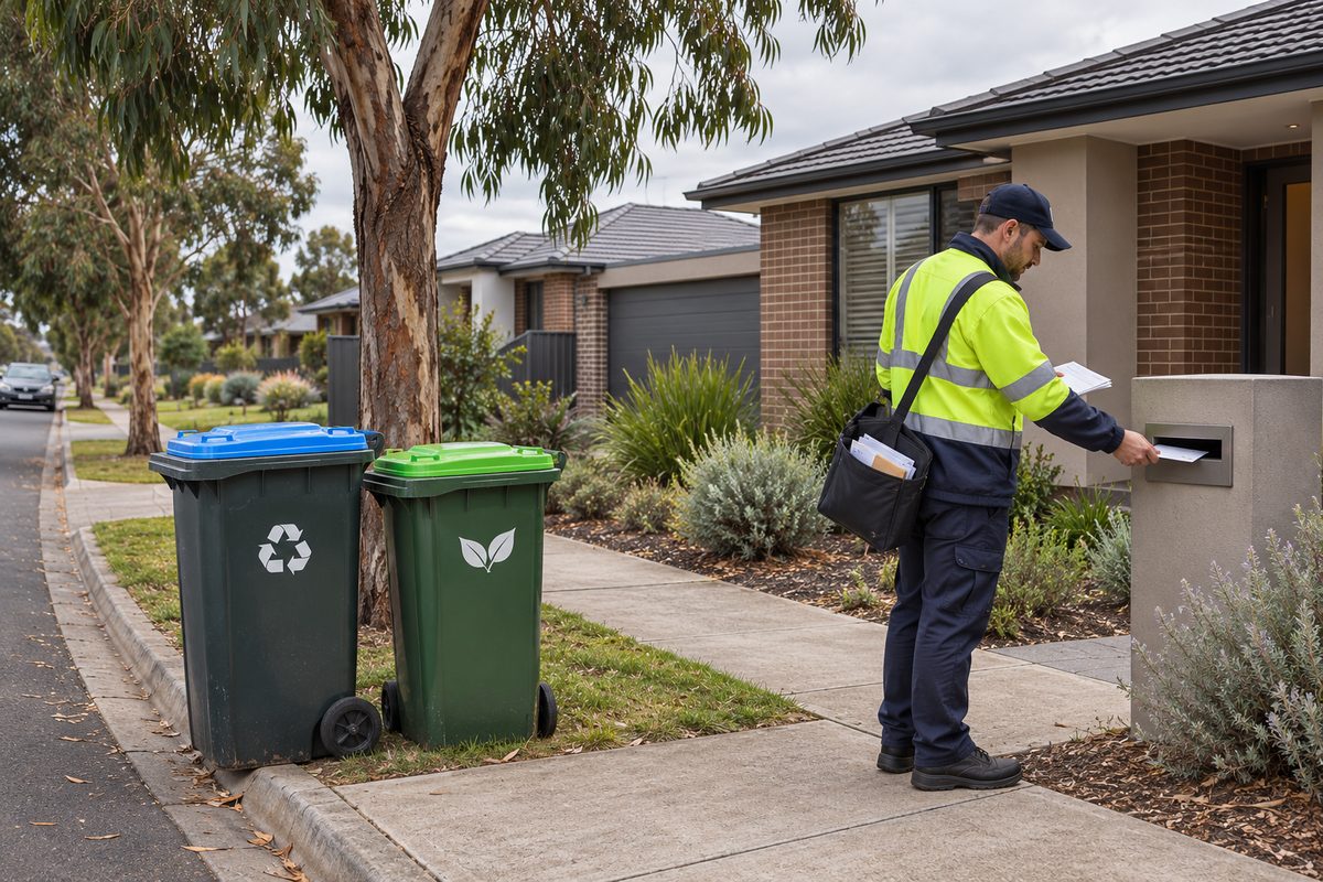
Craigieburn’s postcode is 3064, and its local council is Hume City Council, formally the City of Hume. These details cover most routine address, council and property checks in Craigieburn, Victoria. They do not prove that a specific property sits inside the suburb boundary or has a certain planning status. For that, check the full street address through an official government map or property report.
This distinction matters because a Postal code sorts mail, a council boundary assigns local services, and a planning zone controls how land may be used. One number cannot answer all three questions.
What does postcode 3064 cover?
Postcode 3064 is associated with Craigieburn and several nearby localities in Melbourne’s north. Depending on the address system or database, results may also refer to Donnybrook, Kalkallo, Mickleham or Roxburgh Park. Postal areas serve delivery needs, so they can cross suburb and council boundaries.
Write a Craigieburn address in this form:
Street number and street name
Craigieburn VIC 3064
Australia
Use the locality shown on the official address record. Do not change a nearby locality to Craigieburn simply because both use 3064. The street name, locality, state and postcode work together to identify an address.
A common mistake is treating 3064 as if it means Craigieburn alone. A delivery form may accept the entry, yet a property search can return another Suburb. This does not always mean that either system is broken. The systems may be using different boundaries for different jobs.
Which council serves Craigieburn?
Hume City Council is the local authority for Craigieburn. The municipal area is formally called the City of Hume. It covers a large part of Melbourne’s northern growth corridor and includes established urban areas, newer estates, industrial land and rural districts.
The council handles local matters such as household waste services, local roads, parks, libraries, community facilities, some permits and local laws. It also administers the Hume Planning Scheme, although Victorian planning law and state agencies shape many of its decisions.
Use the council website when you need to:
- check bin collection information for an address;
- report damage on a council-managed road, path or park;
- find local library or community facility details;
- review rates and property information;
- apply for certain local permits;
- look up planning controls or a planning application.
A postcode search is a useful starting point, but council tools usually need the complete address. This prevents a result from being assigned to the wrong property within the broad 3064 postal area.
How does local government fit with state and federal services?
Local government in Australia is one layer of public administration. In Craigieburn, council works alongside the Victorian Government and the Australian Government. Each layer handles different services, and the agency responsible can change with the site or road.
Hume City Council manages many local assets and community services. The Victorian Government oversees areas such as public schools, hospitals, public transport, major roads and the wider planning system. The Australian Government handles matters including taxation, Medicare, passports and immigration.
This split explains why a council cannot fix every local problem. A damaged suburban footpath may be a council matter. A fault at a railway station belongs with the relevant transport authority. A problem on a major arterial road may sit with a state road agency, even when the road runs through Craigieburn.
Before lodging a report, identify the asset rather than relying on its location. The City of Hume can redirect some requests, but sending the issue to the owner first usually saves time.
Why can suburb, postcode and council results disagree?
Each boundary answers a different question. A suburb boundary identifies a named locality. A postcode supports mail delivery. A municipal boundary determines which council governs an address. Planning maps add another set of lines for land controls.
Fast-growing areas make these differences more visible. New streets, estates and community facilities may appear in private mapping services before every database updates. Some business directories also use a better-known suburb name to describe a wider service area.
Consider a hypothetical home near Craigieburn’s outer edge. Its real estate advertisement may describe it as being in the Craigieburn area. Its formal address may use Mickleham. Its postcode may still be 3064, while its council details must be confirmed from the exact parcel. The marketing label has no power to change the official address.
For reliable results, compare the complete address across these sources:
- Australia Post for the accepted postal locality and postcode;
- Vicmap or another official Victorian address source for the locality boundary;
- the relevant council property search for municipal services;
- VicPlan for planning zones and overlays.
If two sources disagree, give more weight to the government record designed for the question you are asking.
What does zoning tell you about a Craigieburn property?
Zoning sets the main planning purpose for land. Residential, commercial, industrial, public-use and rural land can sit close together while carrying different rules. The zone can affect whether a proposed use is allowed, needs a permit or is prohibited.
A zone is only the first planning check. Overlays may add controls for matters such as flooding, heritage, environmental risk, development plans or infrastructure. Other rules can cover lot size, parking, building height, signs and native vegetation.
Do not infer the Zoning from nearby buildings. A row of homes can face land reserved for transport or drainage. A shop may operate under an existing permit that does not apply to the next property. Two adjoining lots can also carry different overlays.
For a sound property check, search the street address in VicPlan and obtain a planning property report. Read the zone and every overlay listed for the parcel. If you plan to build, subdivide or change the use of land, confirm the current controls with Hume City Council before paying for detailed designs.
Council rates notices and planning records serve different purposes. A rates notice can identify the property and its valuation details, but it is not a full planning approval. A building permit also does not replace any planning permit that may be required.
Which services are tied to the address rather than the postcode?
Many local services depend on the exact property. Bin days, rates, school zones, utility connections, voting districts and planning controls cannot be confirmed from 3064 alone.
School zones provide a clear example. A school may have Craigieburn in its name or sit close to the suburb, yet enrolment boundaries can follow individual streets. Families should use Victoria’s official school zone tool and then contact the school about current enrolment rules.
Public transport also needs a stop, station or route search. Craigieburn railway station is on the metropolitan rail network, but a 3064 address may be several kilometres from it. A postcode gives no useful measure of walking distance, bus access or the current timetable.
Emergency and utility records also rely on exact addresses. In a new estate, use the official street name and number shown in the property documents. Avoid unofficial estate names when completing formal forms unless the form asks for one.
What does the council name mean for local identity?
Craigieburn is one community within the wider City of Hume. Council-wide names therefore appear on services, venues and organisations outside the suburb itself. They describe a municipal connection rather than a Craigieburn address.
Hume City FC is a useful example. The football club carries the Hume name, but that does not make its venue part of Craigieburn. Check the stated venue address before travelling. The same rule applies to events, sports grounds and community programs promoted across the municipality.
Business listings can blur this point by using Craigieburn as a broad location term. A service may work in Craigieburn without having premises there. Confirm the street address if distance, pickup or council jurisdiction affects your decision.
How should renters, buyers and business owners check an address?
Renters should confirm the formal address, council, bin service and utility setup before moving. If parking permits or pet rules matter, check the current local requirements with Hume City Council. Do not rely on an old rental listing.
Buyers need a deeper check. Match the advertised address with the title and contract documents. Review the planning property report, overlays, easements and proposed developments nearby. A postcode says nothing about whether an extension, home business or subdivision is likely to gain approval.
Business owners should confirm that the intended use is lawful at the chosen premises. A commercial address does not guarantee that every type of shop, office, food business or workshop can operate there. Planning permission, building rules, health registration, signs and liquor licensing may involve separate approvals.
A useful order is:
- confirm the official address and postal locality;
- verify that the property is in the City of Hume;
- read the zone and overlays;
- ask council which permits apply to the proposed activity;
- seek formal property or legal advice before making a binding commitment.
This order stops a common and costly error: signing a lease or buying plans before checking whether the site can support the intended use.
Where should you verify current Craigieburn information?
Use Australia Post for postal addressing, Hume City Council for local services and permits, and Victorian Government mapping for property boundaries and planning controls. These records can change, so check them when making a decision rather than copying details from an old directory.
Private maps remain useful for directions, but they are not the final authority on a municipal boundary or planning control. Real estate portals also simplify information for browsing. Verify any claim that affects a purchase, lease, permit or service request.
For more local context, the Craigieburn Fieldnotes homepage brings together guides about the suburb. Treat local editorial guides as orientation, then use the responsible agency for a formal answer.
What should you do with this information?
Enter the complete street address into Australia Post, Hume City Council and VicPlan before relying on 3064 alone. That single check confirms the postal locality, council responsibility and planning controls that apply to the actual property.